Maps
-
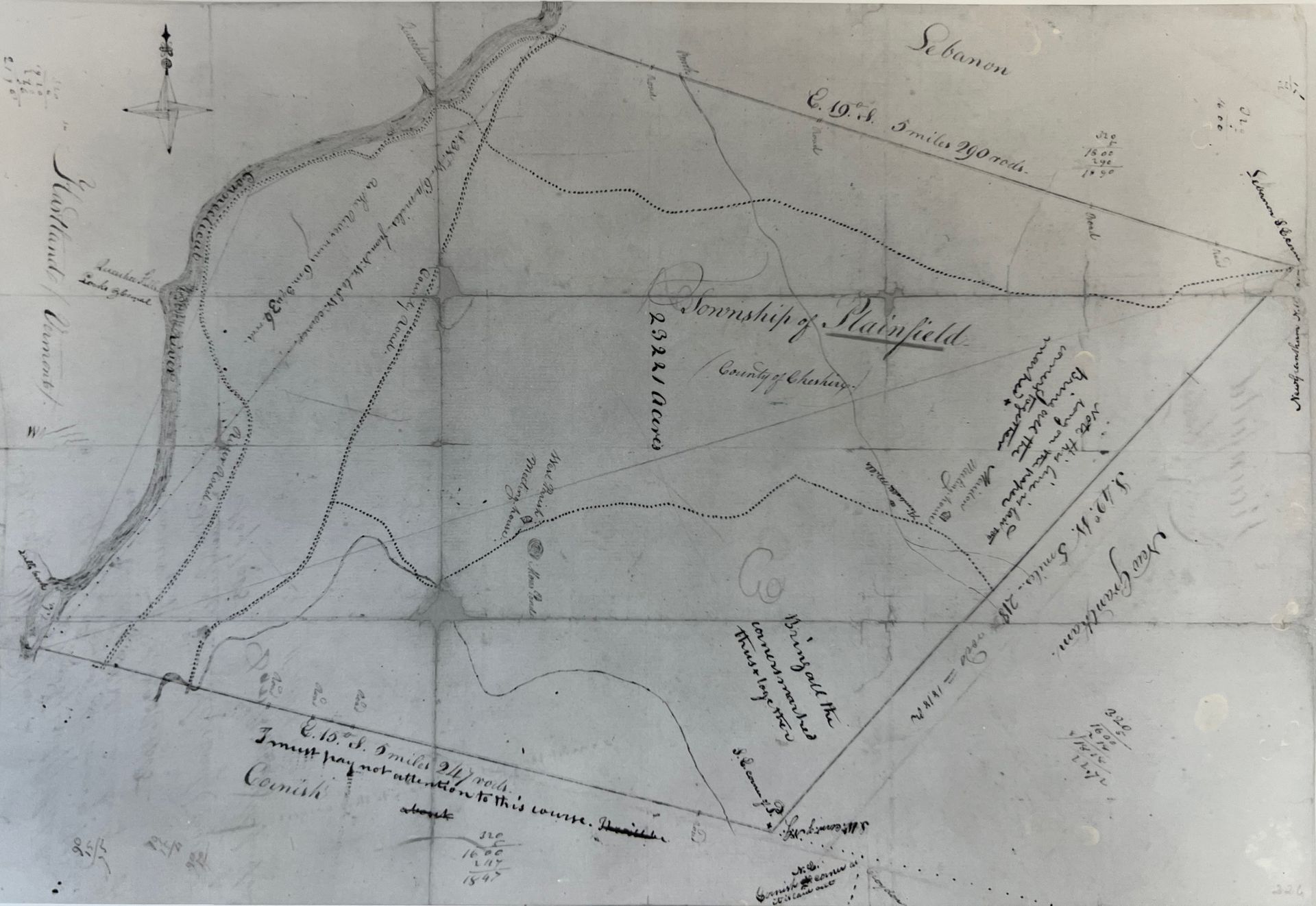
c. 1765
ButtonOriginal proprietors map.
-
c. 1780
ButtonProposed road improvements by Town of Plainfield. Note the mills at the top are at the site of the covered bridge, and "Kimball's house" which is the Meriden Congregational Church parish house.
-
1791
Button1791 map of New Hampshire by Jeremy Belnap.
-
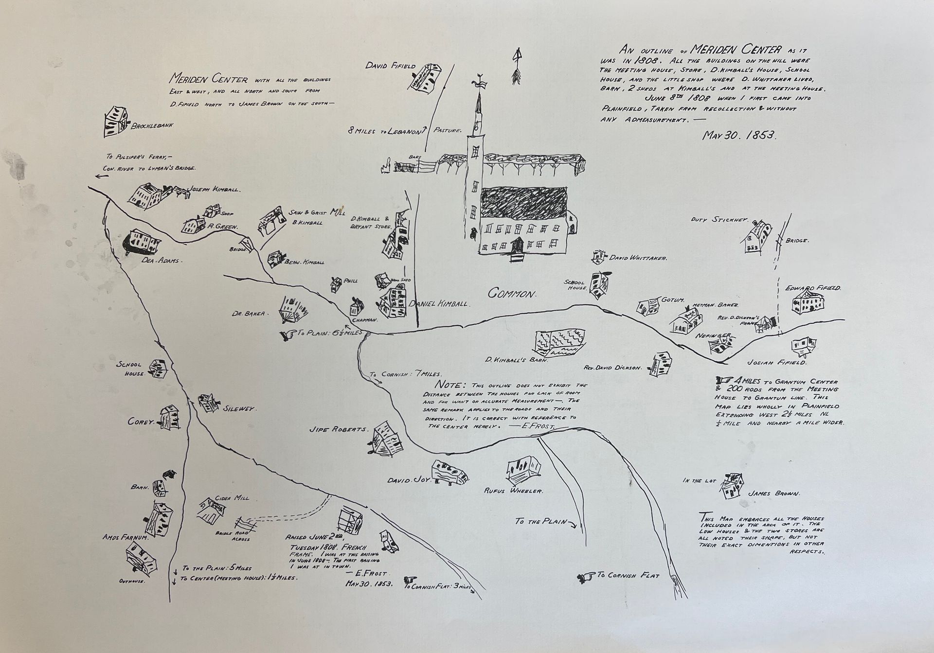
1808
ButtonDr. Elias Frost's 1856 map depicting Meriden Village as it looked when he arrived in 1808.
-
1849
ButtonOriginal proprietor's map with additions by David Bryant in 1849.
-
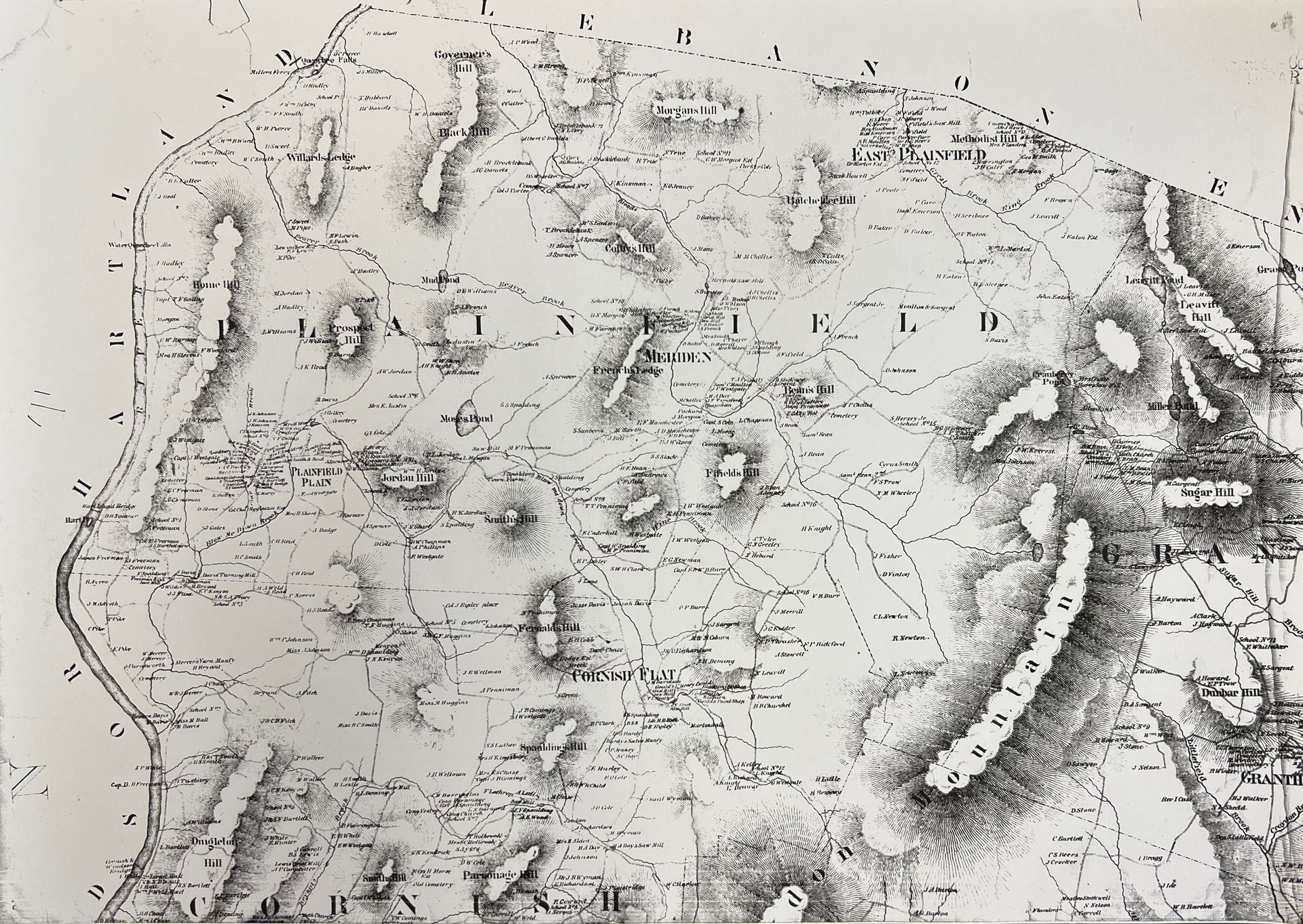
1860
ButtonHomeowners names listed.
-
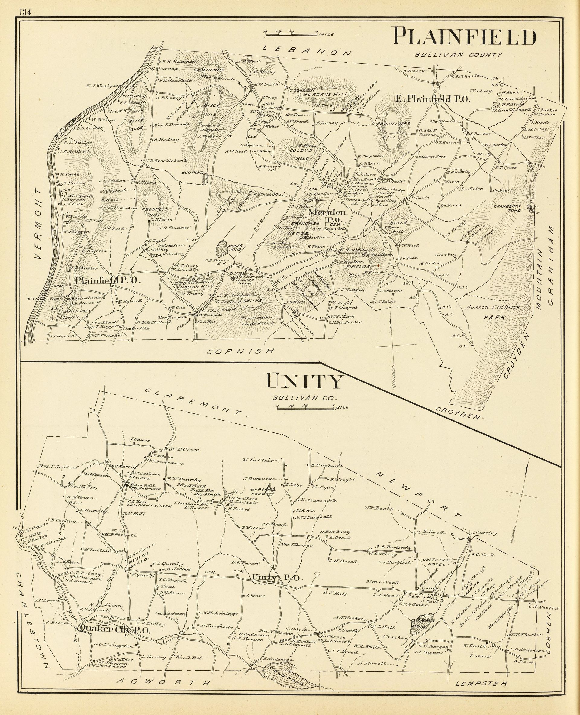
Plainfield-Unity 1892
ButtonTwo lithographed maps. Show settlements, landowners, etc.
-
1960
ButtonMap of Meriden Village by Doris G. Franklin.
-
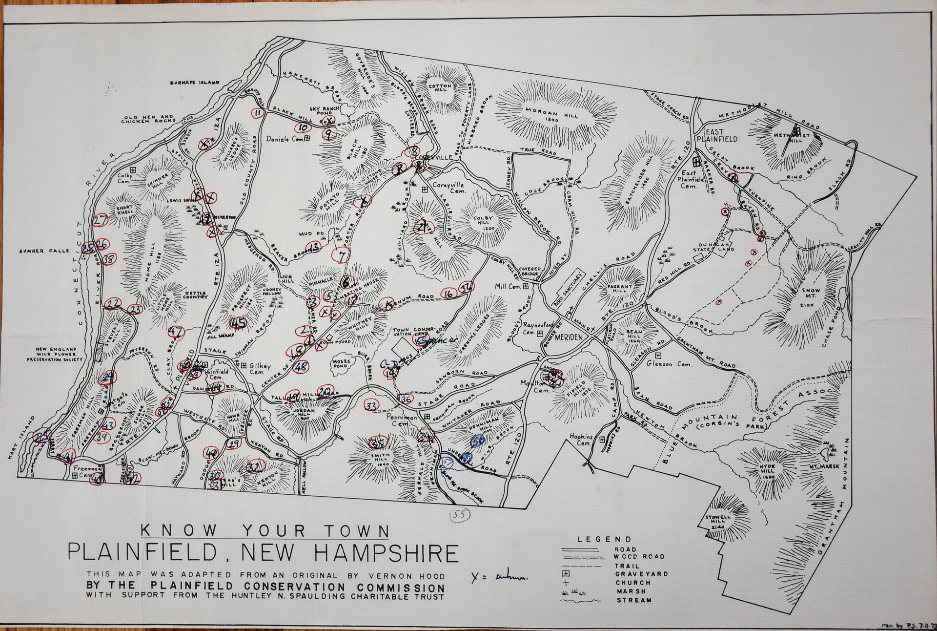
c.1960
Button"Know Your Town" map by Vernon Hood.Topographical features later added by Plainfield Conservation Commission.
-
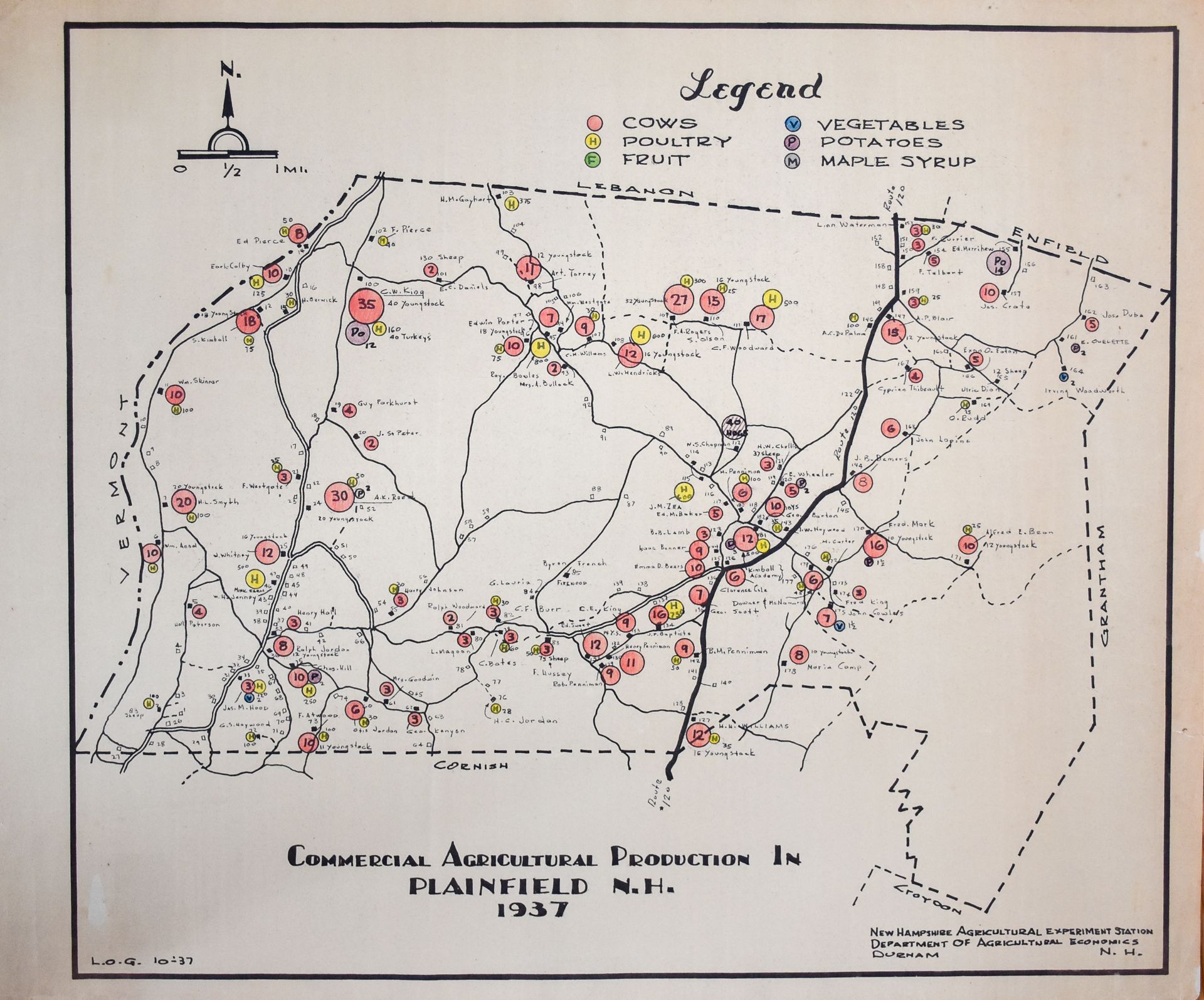
Commercial Agrictulture - 1937
ButtonNote the count of cattle and poultry in the circles.
-
Cellar Hole Map
Cellar Hole IndexLocation of known cellar holes.
Local Names Map
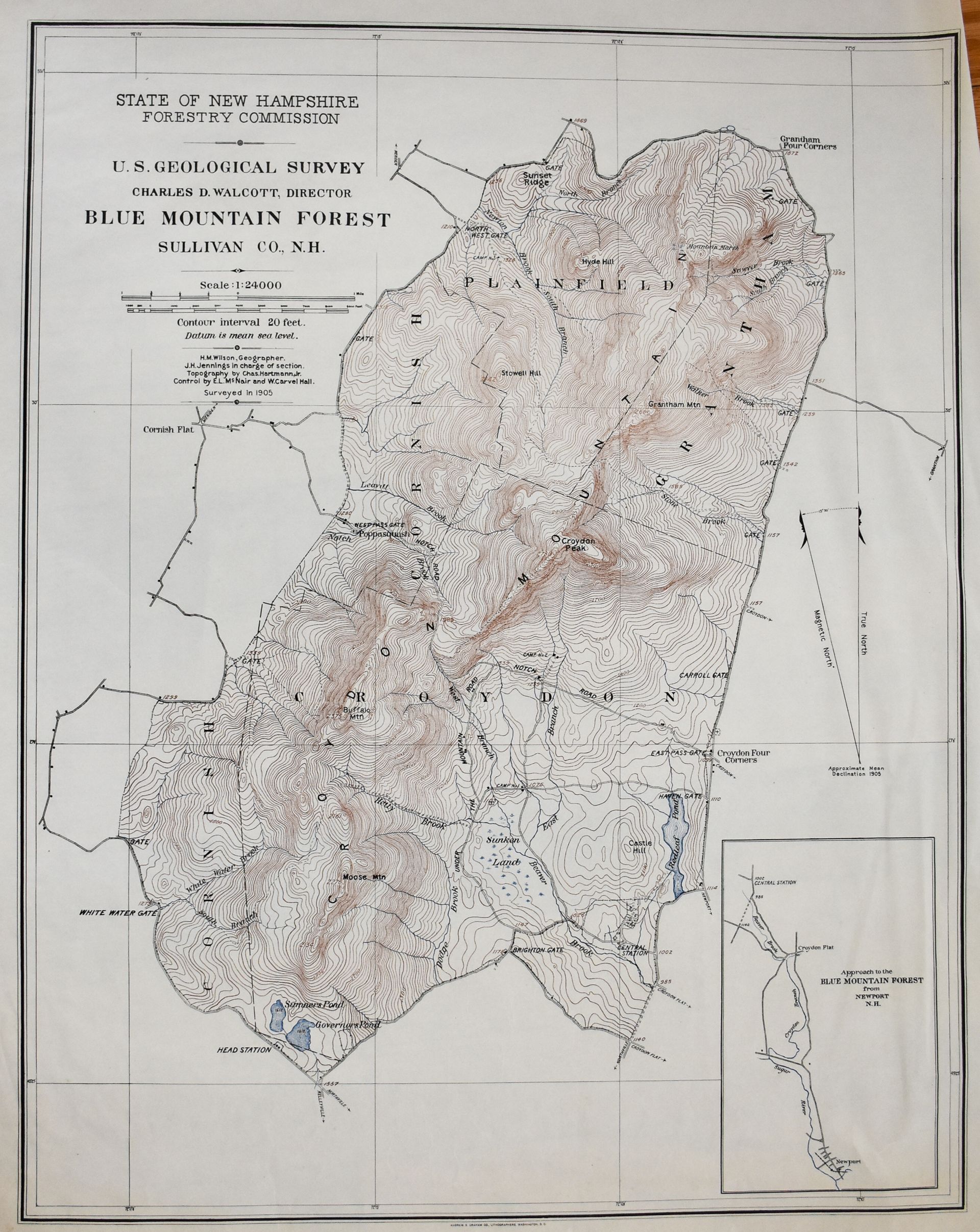
ButtonCorbin Park Topo Map
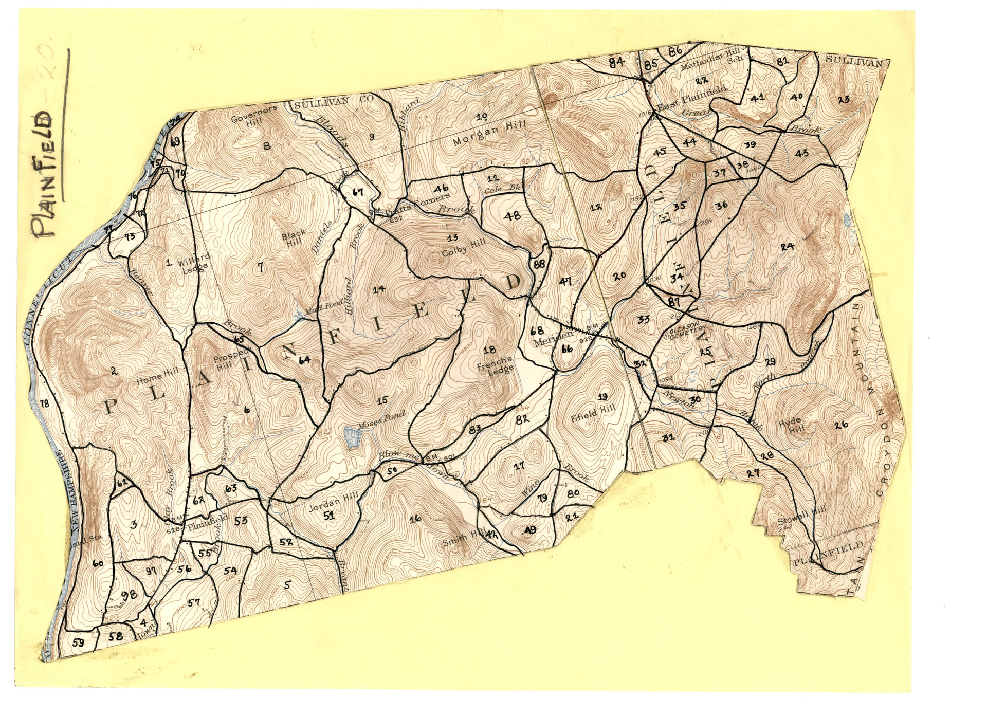
ButtonWhite Pine Blister Rust Survey Maps of Plainfield, NH
These 1937 to 1950 maps were developed to inventory the trees and features of Plainfield, particularly to show any evidence of White Pine Blister Rust. They have remarkable detail about what species of trees were growing eightyfive years ago. Some sections also show locations of stone walls, cellar holes, house locations, pasture boundaries, wood roads, etc. They are an invaluable resource for anyone interested in researching their property.
Take a look at the many detailed section maps created over 13 years.
Note: The 1939 maps have extensive areas marked “blow down” that reflect the timber lost during the Hurricane of 1938. This Category 3 hurricane struck New England on September 21st, caused hundreds of deaths, destroyed thousands of homes and felled large swaths of valuable forests, particularly stands of white pine. In Plainfield, wind speeds of between 80-125 mph uprooted trees, blew off roofs and destroyed outbuildings. All roads were impassable, as were the woods. This decimated the maple syrup industry, and since only a fraction of the fallen timber could be harvested, the economic losses were significant. "
Contact Info
Plainfield Historical Society
1063 Route12A
Mailing: PO Box 107
Plainfield NH 03781
Phone: 603-298-8834
Email: info@phsnh.org


